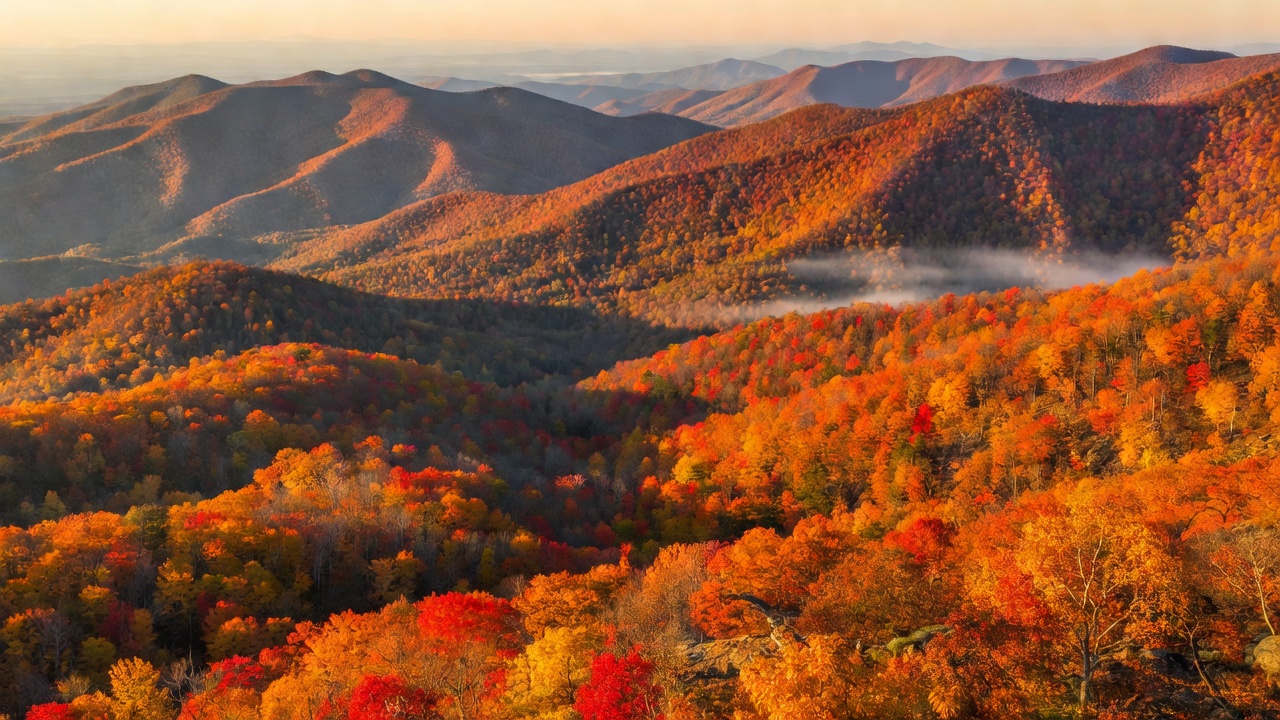
Stretching an impressive 469 miles from Shenandoah National Park in Virginia to the Great Smoky Mountains in North Carolina, the Blue Ridge Parkway is arguably the crown jewel of American scenic drives. Designed specifically for recreational motoring, the parkway follows the crest of the Blue Ridge Mountains, providing a continuous, uninterrupted tapestry of rolling Appalachian ridges.
Why It’s Famous for Autumn Foliage
The Parkway's fame is largely due to its immense biodiversity and staggering elevation changes. The route climbs from under 650 feet to over 6,000 feet. This dramatic topography means the autumn display isn’t just a localized event; it rolls like a slow wave down the mountainsides over the course of an entire month. You’ll find dogwoods, sourwoods, and blackgums turning deep red early in the season, followed by the brilliant yellows of tulip trees and birches, and finally, the robust russets of oak trees holding on late into November.
When to Visit
Because of the length and elevation shifts, "peak color" is a moving target. Generally, the highest elevations (like Mount Mitchell and the Grandfather Mountain area) hit peak color in early-to-mid October. The lower valleys may not reach their absolute prime until early November. If you are planning a complete traverse, the third week of October is historically the safest bet for encountering vivid colors across the majority of the drive.
Key Scenic Stops and Mileposts
- Peaks of Otter (Milepost 86): A tranquil lake surrounded by sharp, dramatic peaks. The reflection of autumn leaves on Abbott Lake is legendary among photographers.
- Mabry Mill (Milepost 176): One of the most photographed spots in the country. The historic wooden gristmill framed by bright autumn foliage creates a perfect rustic portrait.
- Linn Cove Viaduct (Milepost 304): An engineering marvel that hugs the face of Grandfather Mountain. Driving over this elevated concrete snake while suspended above a canopy of bright gold and red is an unforgettable experience.
- Mount Mitchell State Park (Milepost 355): The highest peak east of the Mississippi. Drive up here early in the season for sweeping views of the color starting to descend into the valleys below.
- Waterrock Knob (Milepost 451): Offering nearly 360-degree views, this is an exceptional place to watch the sunrise or sunset illuminate the autumn haze covering the Great Smoky Mountains.
Pros and Cons
Pros: Unmatched scenic variety; no commercial traffic (trucks are banned); ample overlooks and pull-offs designed specifically for sightseers; meticulously maintained roadway.
Cons: Extremely crowded during October weekends; speed limit is strictly enforced at 45 MPH (and traffic often moves slower); limited services directly on the parkway requiring you to exit to local towns for gas and major dining.
Driving Conditions and Practical Tips
While the roadway is paved and generally in excellent condition, it is a mountain road with many blind curves, steep grades, and frequent fog. Rain and falling temperatures can create slick spots, especially in heavily shaded sections.
The most important logistical rule on the Blue Ridge Parkway is to monitor your fuel. There are no gas stations directly on the Parkway itself. You must plan your exits into nearby gateway communities like Roanoke, Boone, or Asheville to fuel up. Cell service is notoriously spotty across the higher ridges, so download offline maps before beginning your journey. Finally, pack layers—temperatures at 5,000 feet can be twenty degrees colder than they are in the surrounding valleys.